
On 7 January 2025, multiple wildfires began in southern California that have killed at least 24 people and destroyed thousands of buildings. With the help of satellites we can see the area where these fires were.
The National Oceanic and Atmospheric Administration (NOAA) uses satellites to provide timely data about geophysical events. The GOES West satellite (GOES-18) was the satellite that was used to monitor the fires.
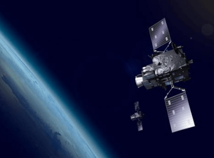
NOAA’s constellations
NOAA operates two key satellite systems: Geostationary Operational Environmental Satellites (GOES) and polar- orbiting satellites.
The GOES-R series, with its Advanced Baseline Imager (ABI), delivers near real-time, high-resolution images that help forecasters locate hotspots, determine a fire’s size and temperature, detect changes in the fire’s behavior, and monitor air quality. This helps firefighters to direct their efforts to spot where it is needed most.
Polar-orbiting satellites, such as those in the Joint Polar Satellite System (JPSS) , feature the Visible Infrared Imaging Radiometer Suite (VIIRS), which offers detailed, continuous global fire monitoring. VIIRS excels in detecting smaller, lower-temperature fires with its 375-meter spatial resolution and Day-Night Band, which captures low-intensity visible light for enhanced nighttime fire detection. VIIRS also contributes to the HRRR-smoke model, which forecasts wildfire smoke movement up to 24 hours in advance.
With human-induced climate change leading to more extreme weather and climate conditions, the need for effective multi-hazard early warning systems is more crucial than ever. Systems that warn people of impending storms, floods or droughts and support action are not luxuries but cost-effective tools that save lives, reduce economic losses, and can provide a nearly tenfold return on investment.
Filling a global need
The United Nations Office for Outer Space Activities has created the Early Warnings for All initiative to bring together institutions to enhance collaboration and make end-to-end multi-hazard early warning systems available to everyone around the world. The initiative aims to build on and scale up existing efforts and capacities, promoting synergies among initiatives and partnerships across sectors to protect lives and livelihoods from natural hazards such as floods, heatwaves, storms and tsunamis.


Leave a comment